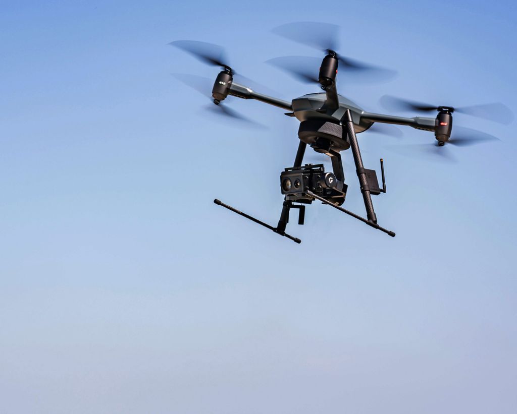
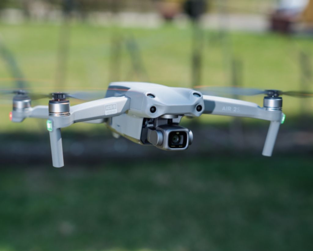
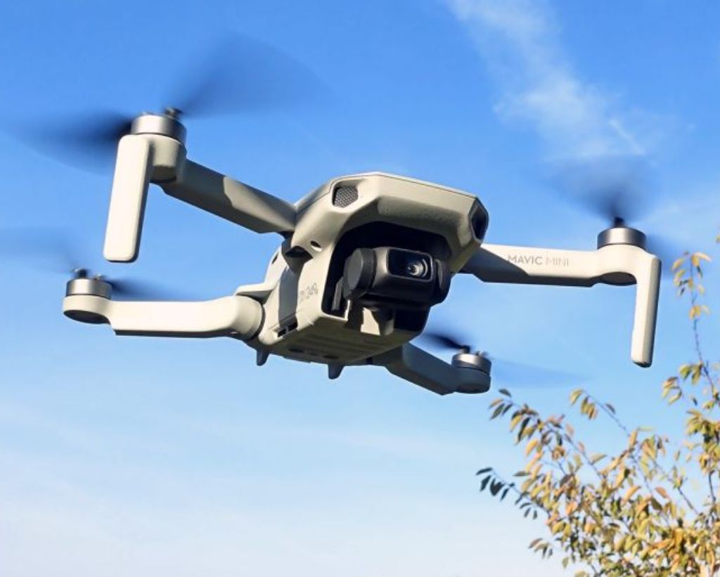
MSH Instrument Environmental and Technologies Sdn Bhd is currently providing services that cater to academic, military, civil and disaster relief purposes. For growth, we foresee a niche market in agricultural, archaeological and conservation applications that would benefit all stakeholders in the longer term.
From stunning aerial footage to precise geospatial data, we’ve got you covered. Discover the power of innovation and technology with us. Let’s take your projects to new heights! Contact us now for a tailored solution that exceeds your expectations.
Expertise
Cutting-Edge Technology
Tailored Solutions
Safety & Compliance
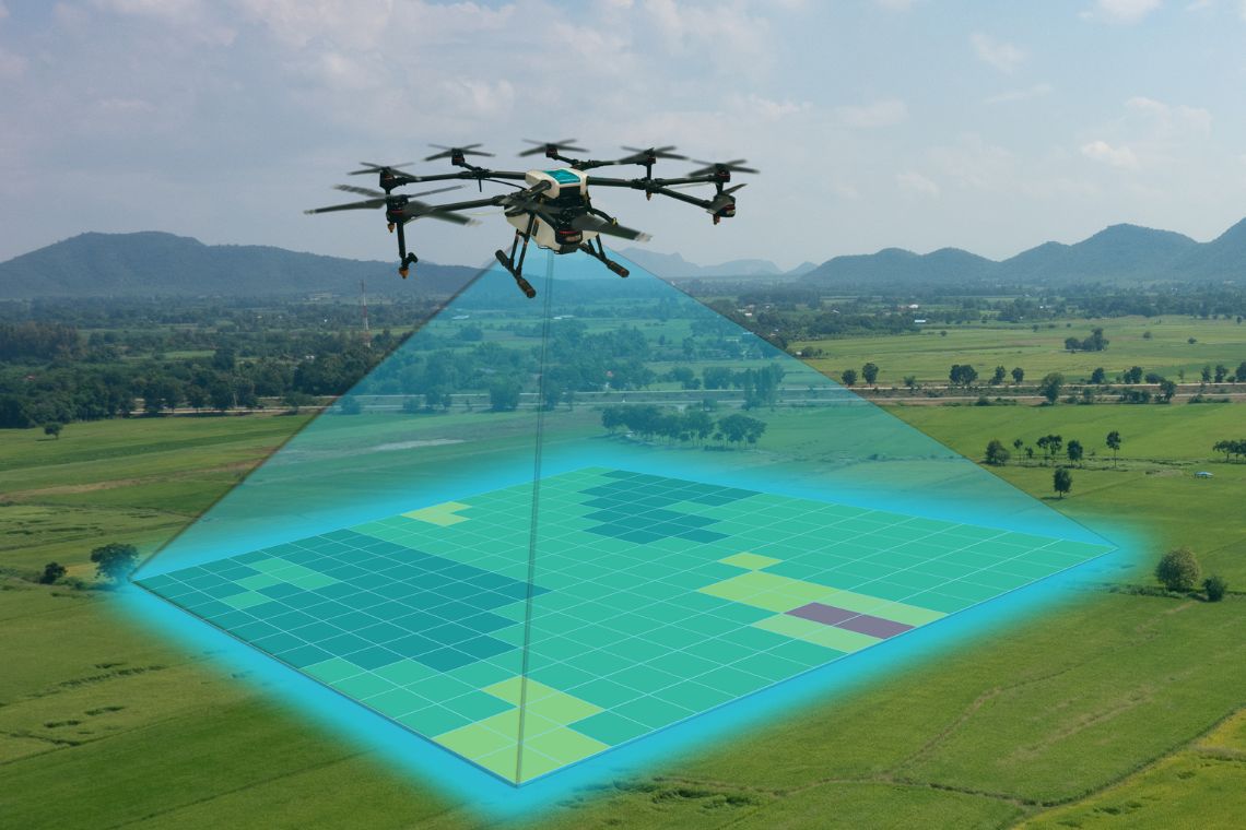
surveying operations and geoanalytics service
Our team comprises skilled professionals who are experts in aerial drone technology and geospatial mapping. With years of experience, we deliver accurate and reliable results.
We utilize the latest state-of-the-art equipment and software to ensure unparalleled precision and efficiency in all our projects.
Our streamlined processes and efficient team ensure timely project completion without compromising on quality.